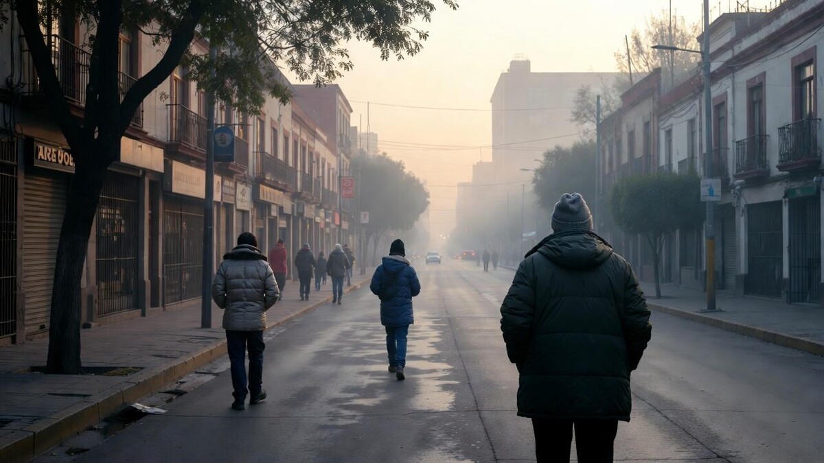
Mexico City will face a drop in temperature accompanied by rain and wind gusts during the early morning and morning of Tuesday, March 31st, according to capital and federal authorities. This phenomenon is part of a larger-scale weather system that will impact various regions of the country. In light of this, recommendations have been issued to prevent health impacts and reduce risks to the population.
Yellow Alert for Low Temperatures in CDMX The Secretariat of Comprehensive Risk Management and Civil Protection (SGIRPC) has activated a Yellow Alert for temperatures between 4 and 6 °C in the Álvaro Obregón, Cuajimalpa, La Magdalena Contreras, Milpa Alta, and Tlalpan mayoralties. The thermal contrast will be notable: while some areas will reach temperatures of up to 45 °C, frost and even sleet are expected in mountainous regions. Authorities recommend wearing at least three layers of clothing, avoiding sudden temperature changes, maintaining constant hydration, and seeing a doctor if respiratory symptoms appear.
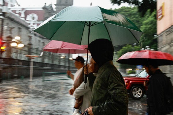
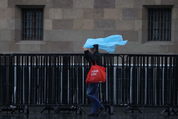
Rain and Extreme Contrasts in the Country The National Meteorological Service reported that a mid-level cyclonic circulation, combined with a high-altitude trough and the subtropical jet stream, will cause heavy rains in the south and southeast of the country, as well as showers in the central region, including Mexico City. Hail is also possible in northern, western, and central states, and winds with gusts of up to 60 km/h are expected in various regions. The critical period will be from 00:00 to 08:00 on Tuesday, March 31st, when the coldest conditions are forecast. In addition to the temperature drop, the forecast includes intervals of showers and wind gusts of up to 50 km/h in the capital, which could intensify the feeling of cold.