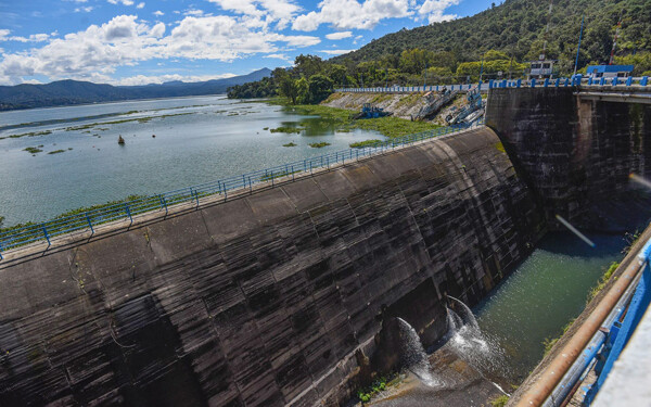
Tropical storm Kristy strengthened and became a Category 1 hurricane on the Saffir-Simpson scale, according to the National Water Commission (Conagua). It is expected to continue moving westward, gradually distancing itself from the Mexican coasts. It is currently located about 650 kilometers south-southwest of Playa Perula, Jalisco, and 655 kilometers southwest of Manzanillo, Colima, moving at a speed of 30 kilometers per hour. Kristy has maximum winds of 120 kilometers per hour with gusts of up to 140 km/h.
"Its broad circulation will cause very heavy local rains, ranging from 50 to 75 millimeters in Jalisco, and locally heavy rains, between 25 and 50 millimeters in Nayarit, Colima, and Michoacán. Winds are expected to have gusts of 40 to 60 km/h and waves of one to three meters in height on the coasts of Jalisco, Colima, and Michoacán," said Conagua.
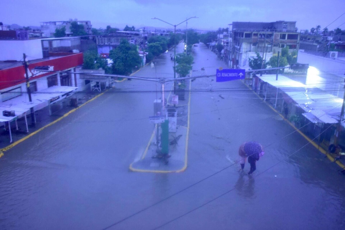
Regarding Category 1 hurricanes, this represents a low risk compared to higher categories. It was in the 1970s when civil engineer Herber Saffir and meteorologist Robert Simpson created the scale that bears their names to assess the potential damage of hurricanes. In this category, winds range from 118 to 152 km/h, potentially affecting trees, shrubs, and unsecured light structures, as well as causing partial or total destruction of poorly installed signs. Additionally, storm surges of up to 1.65 meters above normal level are expected, flooding on roads and highways in low-lying coastal areas, and minor damage to docks and piers.