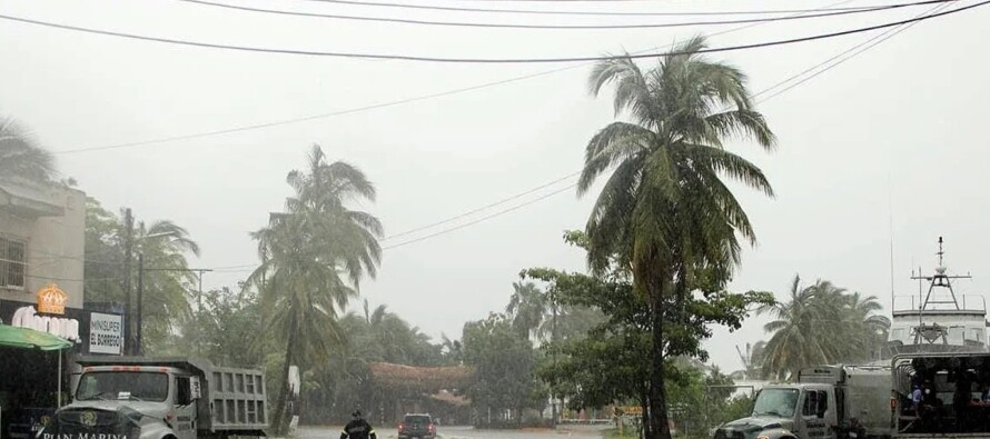
Tropical storm Kristy could intensify into a hurricane this Tuesday, although it is not expected to make landfall in Mexico, according to the National Meteorological Service (SMN). Very heavy rains are forecasted in the western part of the country due to the extensive circulation of Kristy over the Pacific Ocean and a low-pressure channel that will extend across several regions of Mexico.
According to the SMN, rains of 50 to 75 millimeters are expected in Jalisco, and strong precipitation of 25 to 50 millimeters in Colima, Michoacán, and Nayarit, in addition to downpours in the State of Mexico. Winds with gusts of 40 to 60 kilometers per hour and waves of 1 to 3 meters in height are expected in some coastal areas of those states.
Kristy was located 500 kilometers south-southwest of Punta San Telmo, Michoacán, and 650 kilometers west-southwest of Acapulco, Guerrero, with maximum sustained winds of 85 kilometers per hour and moving west-northwest at 24 kilometers per hour. It is expected to gradually move away from Mexico into the Pacific.
In recent months, the Mexican Pacific has experienced the impact of meteorological phenomena such as Hurricane John, which made landfall as a Category 3 on September 23, causing 29 deaths in Guerrero, Oaxaca, and Michoacán. In September, storm Ileana caused minor damage in Sinaloa. On the other hand, during the 2024 hurricane season, three cyclones impacted Mexico from the Atlantic: Hurricane Beryl and storm Chris in July, and storm Alberto in June, which claimed six lives in Nuevo León.