The government of Mexico has set up command posts in the states of Puebla, Veracruz, and Hidalgo to coordinate prevention and preparedness actions for forecasted rains, as indicated in a joint statement by the National Civil Protection Coordination (CNPC) and the Secretariat of Security and Citizen Protection (SSPC).
The departments recommended that the population remain attentive to warnings from the National Weather Service (SMN) and civil protection authorities, in addition to avoiding crossing rivers, streams, or flooded streets, and securing roofs, sheets, and loose objects due to strong winds.
They urged the population to minimize mobility and stay in a safe place in the presence of rains, and for those residing near waterways and slopes to review evacuation routes and identify temporary shelters near their locality.
The CNPC stated that it maintains communication with state civil protection units to coordinate preventive actions, especially in the states where the greatest effects from the cold front are expected, with the aim of protecting the population and reducing risks.
Just this past Thursday, President Sheinbaum informed that dialogues are ongoing with families affected by the catastrophic rains of October, whose homes are in high-risk flooding areas, so they can be accommodated in other zones.
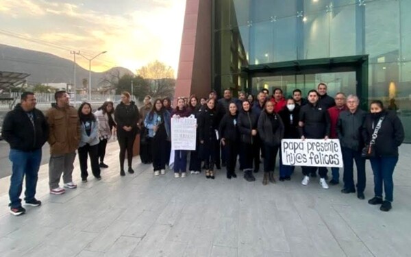
The heavy rains left 83 people dead and 16 missing in the states of Hidalgo, Puebla, Querétaro, and Veracruz.
Mexico has set up watch posts due to a forecast of torrential rains in Veracruz, Oaxaca, Chiapas, and Tabasco, and intense rains in Puebla, Campeche, and Quintana Roo, issued this Saturday by the National Weather Service (SMN).
According to the SMN, Cold Front number 13 will enter during the night of this Saturday and the early morning of Sunday over the north and northeast of Mexico, driven by an arctic mass of air, which will cause intense rains, strong winds, and a marked drop in temperature in various regions of the country.
It also pointed out that during Sunday, the cold front will rapidly move towards the northeast, east, southeast, and the Yucatán Peninsula, where the most significant effects are expected, including torrential rains of 150 to 250 millimeters (mm) in Veracruz, Oaxaca, Chiapas, and Tabasco.
In addition to intense rains of 75 to 150 mm in Puebla, Campeche, and Quintana Roo; very heavy rains: 50 to 75 mm in Tamaulipas, San Luis Potosí, Hidalgo, Querétaro, and Yucatán.
"These precipitations could cause flooding, an increase in river and stream levels, landslides, and flooding in low-lying areas of these states," indicated the Mexican Meteorological Service.
The associated arctic air mass will also generate icy winds from very strong to intense, with wind gusts of 70 to 100 kilometers per hour (km/h) and high waves of 2 to 4 meters on the coasts of Tamaulipas, Veracruz, the Isthmus, and the Gulf of Tehuantepec (Oaxaca and Chiapas).
While in the north of the country, wind gusts of up to 70 km/h and possible tornadoes are forecast in Chihuahua and Coahuila, in addition to minimum temperatures that could drop below 0 °C in mountainous areas of the north and northeast.
The government estimated that about 100,000 homes were affected.