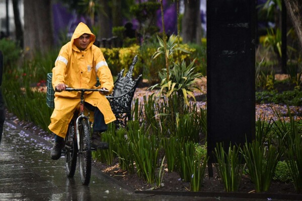
The National Weather Service (SMN) reported that cold front #43 will begin to move this Sunday along the coast of the Gulf of Mexico, where it will interact with an upper-level trough and a low-pressure channel. This combination will cause heavy to very heavy rains, accompanied by electrical discharges and possible hail in the north, northeast, center, and east of the country, with intense rainfall in Hidalgo, Puebla, and Veracruz. In a statement, the agency of the National Water Commission (Conagua) detailed that the associated polar air mass will cause a drop in temperatures in the north and center of the country, as well as a 'Norte' event with wind gusts of 60 to 80 km/h in Tamaulipas, Veracruz, as well as in the Isthmus and Gulf of Tehuantepec. Snow or sleet is also forecast for the peaks of the Popocatépetl, Iztaccíhuatl, and Pico de Orizaba volcanoes. For Monday, the front system will extend from the northeast of the Gulf of Mexico to Veracruz, where it will continue to interact with a low-pressure channel over the southeast of Mexico, as well as with atmospheric instability and a trough at high levels. These conditions will cause heavy to very heavy rains in the northeast, center, east, and southeast of the country, with intense rainfall in Veracruz, Oaxaca, and Chiapas. The polar air mass will maintain the temperature drop in these regions and generate a 'Norte' event with gusts of 60 to 80 km/h and high waves on the coasts of Tamaulipas and Veracruz, as well as on the Isthmus and Gulf of Tehuantepec in Oaxaca and Chiapas, in addition to gusts of 40 to 60 km/h in Tabasco. For Tuesday, cold front #43 will acquire stationary characteristics over the Gulf of Mexico and the eastern part of the country. It will continue to interact with a low-pressure channel and a trough at medium and high levels of the atmosphere, which will generate showers to heavy rains in the east and southeast of the national territory, with very heavy rainfall in Chiapas. The polar air mass will continue to favor a cooler environment in the northeast and east of the country, as well as a very strong 'Norte' event in the Isthmus and Gulf of Tehuantepec, while on the coasts of Veracruz and Tabasco, gusts of up to 50 km/h are forecast, decreasing gradually in the afternoon.