Tropical storm 'Kristy' is expected to cause heavy rainfall in several states of Mexico in the coming hours. Jalisco, Veracruz, Tabasco, and Chiapas may experience torrential rain between 50 and 75 millimeters, while Puebla, Nayarit, Colima, Michoacán, Guerrero, and Oaxaca could face heavy showers of 25 to 50 millimeters. Additionally, Chihuahua, Durango, Estado de México, Campeche, and Quintana Roo may record showers of 5 to 25 millimeters.
The National Water Commission (Conagua) has urged the population of these states to take precautions as the rains could be accompanied by lightning, strong winds, hail, and increased levels of rivers, streams, and the risk of landslides and flooding in low-lying areas.
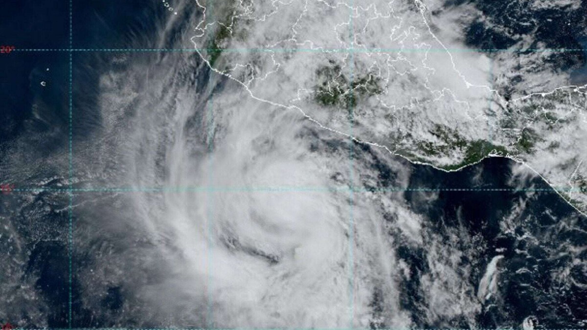
The trajectory of tropical storm 'Kristy' indicates that it is located 650 kilometers west-southwest of Acapulco, Guerrero, and 500 kilometers south-southwest of Punta San Telmo, Michoacán. It is expected to become a category 1 hurricane in the early hours of Wednesday and strengthen to category 3 by Friday. Intense rains are expected mainly in Jalisco, Colima, Michoacán, and Guerrero due to the storm's circulation.
The National Meteorological Service forecasts that the rains may also be generated by a possible tropical cyclone moving away from the coasts of Jalisco and Colima, gradually moving while maintaining high impact. Sustained winds of 85 km/h and gusts of up to 100 km/h are expected, as well as waves of 1 to 3 meters along the coasts of the mentioned states.
The interaction between the subtropical jet stream and a dry line will cause strong gusts of wind with dust storms in the northwest, north, and northeast of the country in the coming days.