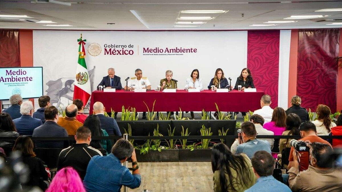
The hydrocarbon emission detected in coastal areas of Veracruz and Tabasco has a multiple origin, according to the latest report from the Inter-institutional Group (GI), composed of federal and state agencies. After weeks of technical analysis and environmental monitoring, authorities indicated that the incident is not due to a single source, but rather a combination of natural factors and possible illicit activities in the Gulf of Mexico, which has impacted fishing communities and marine ecosystems.
Causes of the spill, according to authorities The GI reported that through “technical and scientific modeling, satellite tracking, oceanographic analysis, and monitoring of sea currents and winds,” three main sources of hydrocarbon emission were identified. The first corresponds to the “illegal dumping from a vessel,” one of 13 vessels that were in the anchorage area of Coatzacoalcos, four of which have already been inspected and the rest are in the process of being located with international support. The other two sources are of natural origin: chapopoteras—natural hydrocarbon seeps—located near Coatzacoalcos and in the Cantarell Complex area.
Authorities emphasized that “the three detected sources of pollution are under control,” while containment efforts using barriers and dispersants, as well as underwater inspections to rule out structural damage, continue.
Consequences and criticism from Greenpeace In contrast, Greenpeace warned that the spill has reached dimensions significantly larger than those officially recognized. According to satellite images analyzed between February 11 and 17, the hydrocarbon slick covered up to 50 square kilometers in the sea off Campeche, “equivalent to more than a thousand times the area of the Zócalo in Mexico City.” The organization stated that this evidence “demonstrates early knowledge and insufficient containment by the authorities,” in addition to pointing to “official opacity” in handling the incident.